
Jottings West, Day 9
March 24th, From Crows to Kootenay
At the end of a walk up the crackling stairs upon retiring to my bedroom in Longview Alberta last night, a middle-aged man with a cowboy hat nodded his head at me from the room that presumably was his office.

{The lone hallway}
The Twin Cities Hotel is not your average rest-stop for the evening. This establishment was founded in 1938, amidst the height of an oil boom in the region. Moreover, it was founded by three players of the National Hockey League (NHL), who had mutually dreamed of running their own hotel + saloon. To this day, many aspects are original, the bartender told me. “It wouldn't have looked much different back then”.

{The Saloon is immediately downstairs from the hotel rooms}
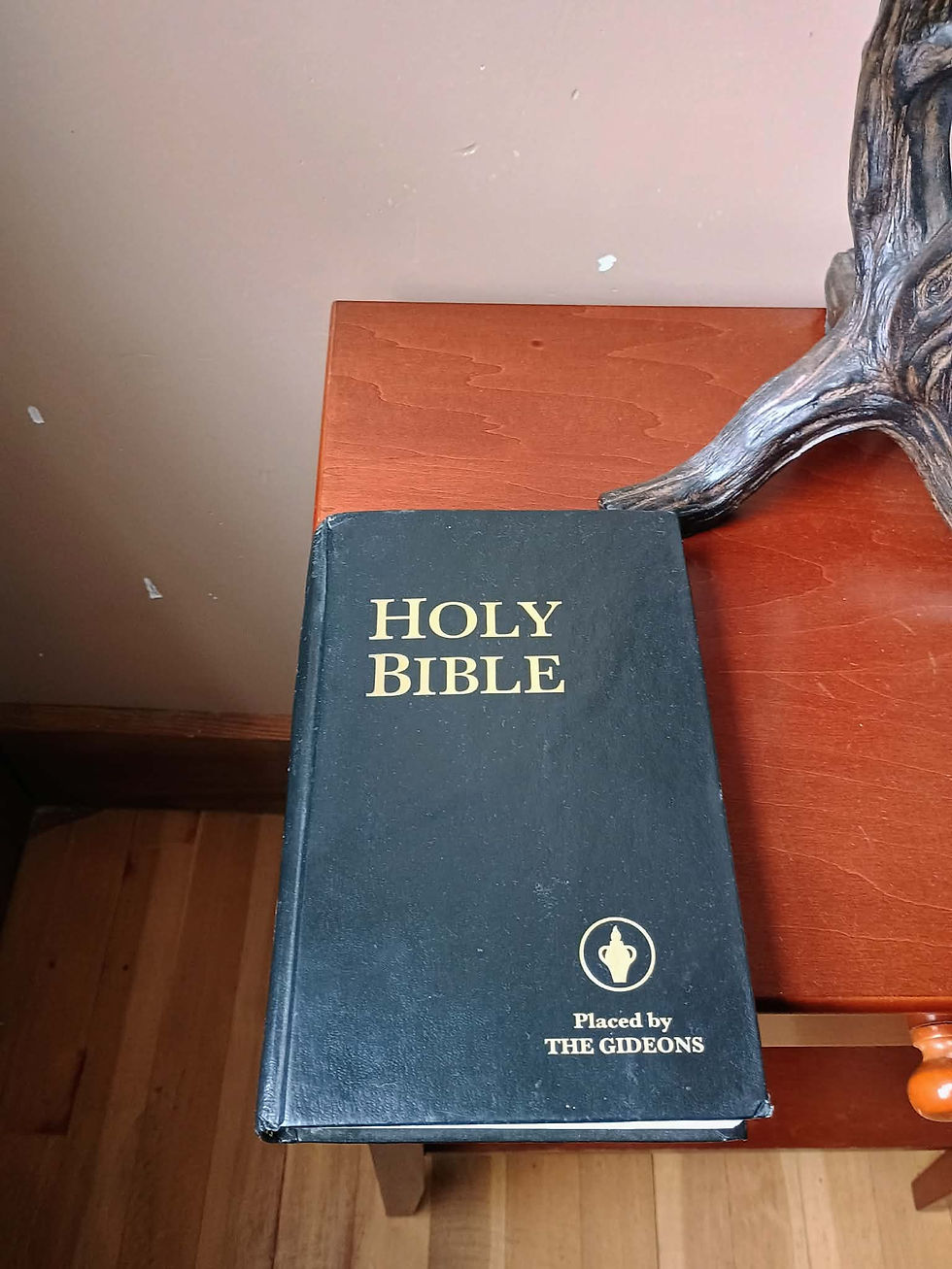
{A Bible sits in every room}

Earlier in the morning than preferred, I had to go, travelling south down the badlands of highway 22. Approaching the end, another ecotone (see: Day 2 Jotting) was in sight. By this point, no longer is the prairie a flat fertile plain, but an ecosystem characterized by rolling, grassy hills, and small patches of conifer forest. It is the heart of ranching country; I must have passed by at least 100 estates boasting vast and expansive landscapes for their cattle to roam. From the vantage point of the westward traveler, this area sits right on the edge of agrarian tranquility, as if one were watching a massive tsunami wave coming in the distance from an otherwise peaceful beachfront.

{The first logging truck I had seen since eastern Manitoba}

{A pumpjack in the middle of a Longview neighborhood. It was unclear whether it was active, or was a memorial of some kind}
Many rivers flow eastward, out of the Rockies, downstream to Alberta and beyond, such as the Bo and Oldman. Intrigued by sight of a strong current, I parked nearby a staircase which I later found out was the entry to Lundbreck Falls.


A man named Garry startled me as I was standing on a rock, utterly fixated on the falls, until he came over to say hello. He was a local fisherman, who often comes here for fun, even though it is not legal here to actually take home any catches from the day. He brought me closer.

Driving off, I then entered what may be considered one of the more famous Canadian regions, at least for someone interested in transportation, natural disasters, and geology. I knew about the Crowsnest Pass long before starting my journey. In fact, I made a conscious effort to shape my plans around taking the route. Its historical significance derives from its quality of being a low pass in the mountain range, crossed by humans for thousands of years before the first arrival of European fur traders, surveyors and railway men in the 19th century. In the late 1890’s, the Canadian Pacific Railway built a railway through, and founded a few towns along its route. Its purpose was not only to reach mineral resources in the Kootenays, but also to assert sovereignty in the region, both on behalf of Ottawa in opposition to the United States, and against its rivals in the railway business.

{CPR's line routes in the region}
Crowsnest is really a collection of small towns rather than a single settlement.

{Plaque outlining the regional human geography}
Frank, Alberta, resembles the graveyard memorializing a cataclysmic event. Such an event occurred in 1903, when much of the coal mining town was crushed by limestone 1 kilometre wide, 425 metres long, and 150 deep, falling fast from the crest of a nearby mountain. The geological event is still very visible over 120 years later.

There is a story in my family, in which my Great-Grandmother - who lived in Frank - lost her birth records in the landslide. However, as my grandfather pointed out, such a story is implausible, given she was born in 1912. Perhaps this was a convenient tale to tell.
Alas, there are many tales to tell about this region, too, all of which I am too tired to write on this late Tuesday night.

{Deep in the midst of economic depression during the dirty 30's, the town of Blairmore, Alberta, elected a Communist town council}
The deeper into Crowsnest one goes, the more intensely the mountains surround, until it is clear that Alberta is far behind. British Columbia, in all her beautiful twists, curves, and angles, is the only woman in town.

{Views from about 20 kilometres west from Crowsnest}
Up and down hills I went, stuck behind a plow truck for quite some time due to the oncoming storm. For the first time in my life outside of an airplane, my ears popped. For about half an hour, my hearing was dimmed, which on the bright side took some of the sting out of the knocking sound of my kayak vibrating on my car roof top. Eventually, I reached the Kootenays.

{A colourful map of the west Kootenay and Boundary County region}
Passing through both the Crowsnest Pass and the Kootenays today, it got me thinking about the concept of regional identity. Despite not being a single place, revolving around a specific landmark or city centre, both of these areas emanate a strong sense of region and place, consciously thinking of themselves as distinct from the outside world in concrete ways. It is curious to wonder about what factors lead to/encourage the formation of such an identity, and which do not. There is no doubt that geography plays a role - one straddles the lowland in between two mountains, while the other surrounds the Kootenay river. But regionalism is also shaped by shared experience, one that binds a group together as they work within the conditions specific to their area, such as an industry, a pastime, a way of life, or an enemy. Places that lack a sense of coherence in these areas are typically pulled in each direction, with some people associating with regions to the west, while others gravitate east. It could be argued that Atikokan, Ontario, exists in such an identitarian situation. It could also be argued Atikokan has a unique identity, in and of itself. One gets the sense passing through, however, that Crowsnest and Kootenays have no such internal debate.
Stopping for the final time in Ootischenia before my final destination at Grand Forks, I looked out at the mountains, and then, at what laid below.

It is quite incredible, that even in the middle of a rocky mountain forest stretching hundreds of kilometres on all sides, the corporate complex could still find its way in, and grow to the same dominant position here that it has across the friendly, civilized parts of the earth. Come to think of it, I wouldn't mind a late-night burger.


Comments